

DEVELOPMENT OF PORTALS AND ON-LINE SERVICES FOR SPATIAL INFORMATION MANAGEMENT
Portal is a web-based platform that integrates spatial information from various sources into a unified user interface in the form of a web GIS and displays data of interest to users. Typically, each type of data has its dedicated area on the page for displaying that data, and almost always the user can configure which information to display.
In other words, a portal typically provides personalized capabilities to its visitors, providing a pathway to content of interest without using desktop software solutions, using web technologies such as JavaScript, CSS, HTML, etc.
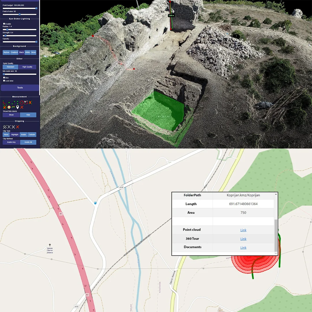
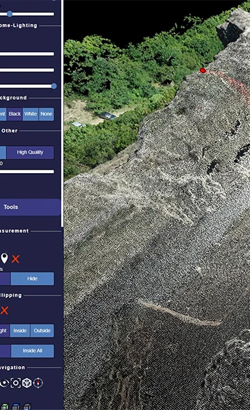
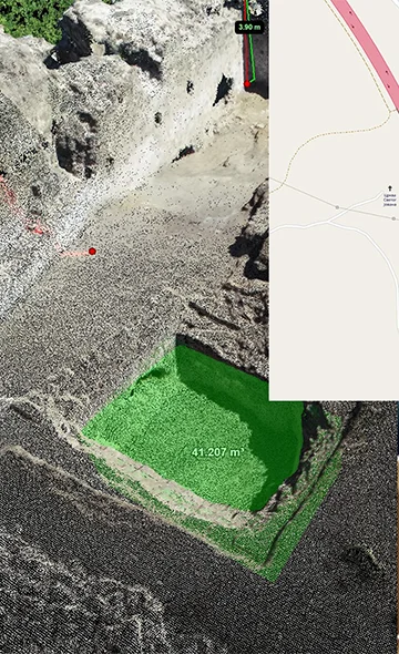
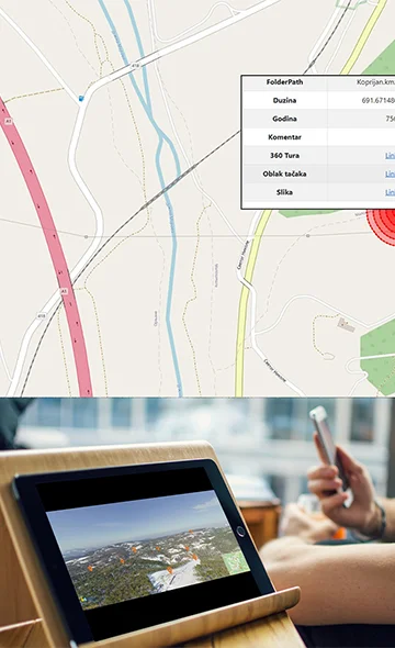
Portals have a wide range of applications for sharing and visualizing large sets of data, such as point clouds. Users don't need to physically store terabytes of point cloud or orthophoto imagery on their computers, everything can be cloud based, easily accessible to everyone and, perhaps most importantly, data can be used on different devices such as desktop and laptop computers, tablets, smartphones, personal digital assistants, etc.
Digital Dome engineers are proficient in TypeScript, Python, SQL, PHP, Django, ExpressJS, Node.js, RESTful API, JavaScript, Cyber Threat Intelligence, Java, TensorFlow, React, WordPress, Flutter, and can develop the most complex desktop and web applications for you as needed.
DEVELOPMENT OF PORTALS AND ON-LINE SERVICES FOR SPATIAL INFORMATION MANAGEMENT
Access your data from anywhere you are. We can create various types of geo portals for you that will allow quick and secure access to your important data.
Geo portals can provide tools for analyzing and interpreting geospatial data, making it easier for users to understand and make informed decisions based on the data. Geo portals can also facilitate collaboration and data sharing among users and organizations, leading to more efficient and effective use of geospatial resources.
General Services