
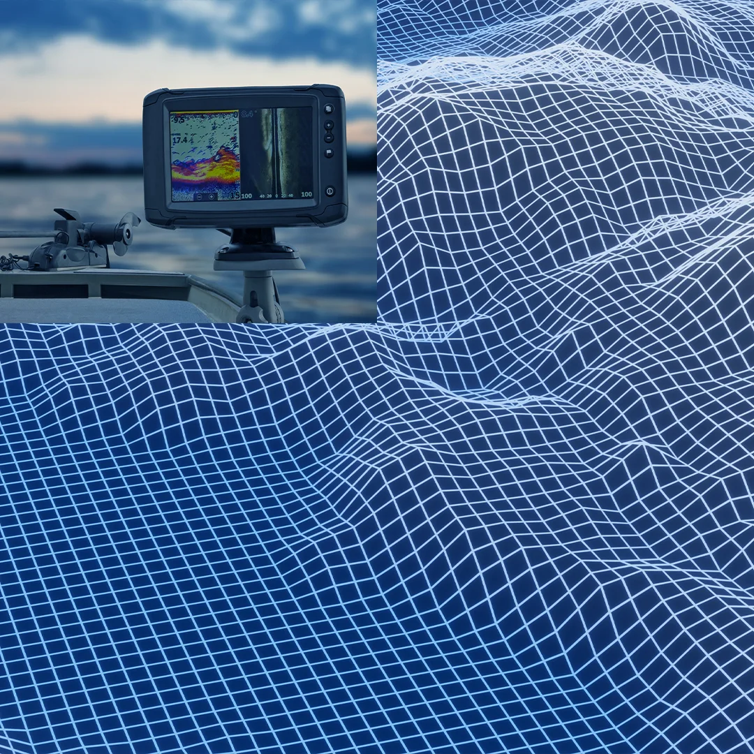

Bathymetry (single and multibeam)
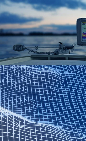
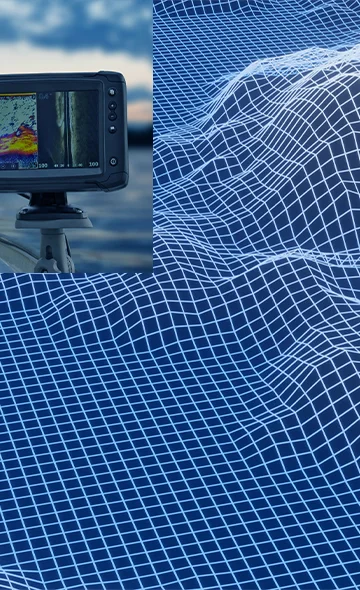
Bathymetric surveys are used to measure and map the depth and shape of the seafloor, lake, or riverbed. These surveys are typically conducted using single-beam or multi-beam echo sounders and are essential for a wide range of applications, including navigation, dredging, and offshore infrastructure development.
Our single-beam, multi-beam echo sounder, and drone-mounted water penetrating Lidarsurvey services are designed to collect accurate bathymetric data for hydrographic surveys, port and harbor management, and offshore infrastructure development.
One of the primary deliverables of a bathymetric survey is a detailed map or chart of the surveyed area. This map typically includes depth contours, water depths, and any underwater features, such as reefs or wrecks.
The map can be used to identify potential navigation hazards, plan dredging projects, or design offshore structures such as oil and gas platforms, pipelines, and cables.
Another important deliverable of a bathymetric survey is a point cloud or 3D model of the surveyed area. This data can be used to create highly detailed visualizations of the seafloor or riverbed, allowing for a better understanding of the underwater environment. The point cloud can also be used for analysis and modeling, such as calculating volumes of dredge material or modeling the impact of coastal erosion.
Our team of experts utilizes advanced single-beam and multi-beam echo sounders and drone-mounted water-penetrating LiDAR to collect highly accurate bathymetric data. We use specialized software to process the data and generate detailed maps and 3D models of the surveyed area. Our bathymetric surveys are customized to meet the specific needs of each project, ensuring that our clients receive the most accurate and useful data possible.
If you have a project that requires bathymetric surveying, contact us today to learn more about our services and how we can help you achieve your goals.
Bathymetric survey
Multi-beam survey involves attaching an echo sounder to a boat, which then sends out an array of beams across the waterbody floor. When the beams are bounced back from the waterbody’s floor, data is collected and is then processed, so that data can be viewed in real-time during the survey.
There is a wide range of multi-beam sensors designed for different needs, from those used for coastal mapping and hydrographic surveys in shallow waters and with a maximum depth range of about 400 meters to multi-beam sensors capable of measuring and exploring the deep-sea down to 11,000 meters.
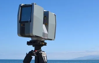
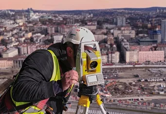
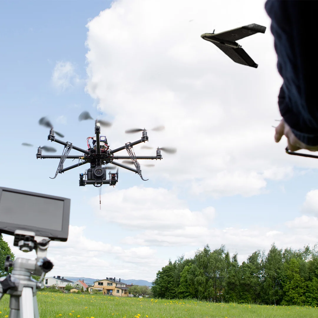
Technologies