


GEOSPATIAL DATA COLLECTION
Over the past two decades, spatial data has mostly been collected in digital form and stored in various databases that can be used for different analyses and decision-making processes. New technologies have played a crucial role in increasing the availability of geospatial data and reducing the necessary time for data collection.
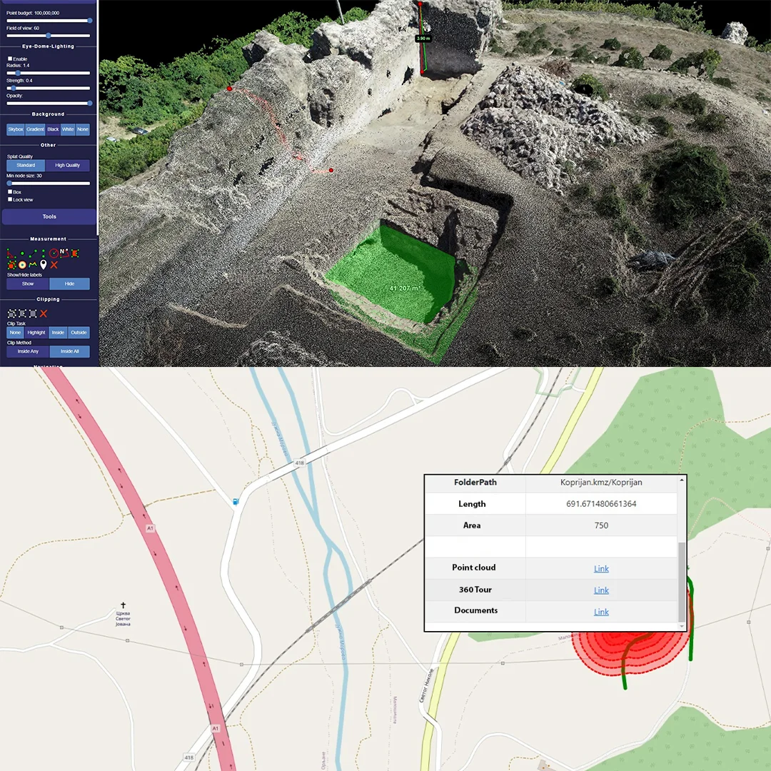
Spatial data can be collected in multiple ways, through direct observation of relevant spatial phenomena, using conventional surveying methods, and through the use of remote sensors on various platforms such as vehicles, drones, airplanes, helicopters, and satellites.
Our team of experts specializes in collecting spatial data that is accurate, efficient, and reliable, using conventional surveying methods, and through the use of remote sensors on various platforms such as vehicles, drones, airplanes, helicopters, and satellites...
Whether you are in the construction, mining, forestry, or surveying industry, we have the technology and expertise to provide you with the data you need utilizing following technologies:
GEOSPATIAL DATA COLLECTION
Spatial data and GIS are used in a wide range of fields and industries, including:
- Urban planning and city management
- Environmental management and conservation
- Agriculture and forestry
- Transportation and logistics
- Surveying and cartography
- Emergency management and response
- Real estate and property management
- Geology and geophysics
- Archaeology and cultural heritage management
- Business and market analysis
General Services
Explore General Services
DEVELOPMENT OF PORTALS AND ON-LINE SERVICES FOR SPATIAL INFORMATION MANAGEMENT
Read more