

CONSTRUCTION
- Intelligent progress monitoring & virtual web based site access (360 imaging, 3D laser scanning, UAV progress monitoring); stay up to date with your site conditions and construction progress.
- As build Scan2BIM - Design VS Build 3D models
- Clash detection, floor flatness and wall verticallity chek
- Virtual progress monitoring
- Construction site surveillance
- MEP,Structural and Arhitectural 3D modeling
- Conversion of 2D drawings to 3D Models
ARCHITECTURE
- High accurate as build models
- Hyper-realistic design renders
- Technical Drawing updates
- Virtual tours
- Interior design
- VR&AR 3D modeling
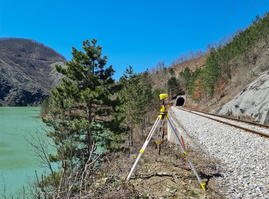
LAND SURVEYING - Mobile mapping, terrestrial 3D laser scanning & UAV topographic land survey
- Topographic survey
- Road survey
- Base map Survey of urban environments for Smart City & 3D city modeling
- Underground utility modelling
- Geographic Information System

OIL&GAS
- Tank Survey
- Long distance Pipeline survey
- Flair Stack, Chimney & Utility inspection
- On-Shore / Off-Shore inspection & monitoring
- Digital twins modeling & Asset Digitization
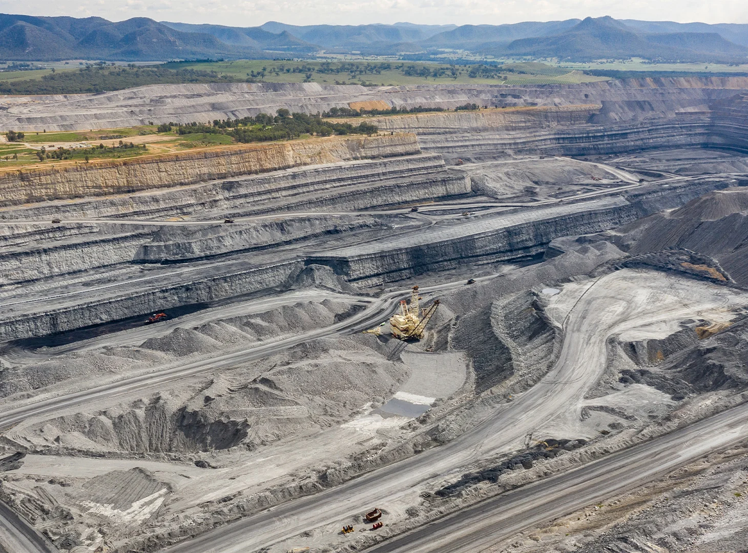
MINING
- Surface morphology survey and analysis for drilling and blast assessment
- Mine Operation management
- Cut&Fill volume surveys
- Digital Site management

MARINE
- Near Shore batyhmetric UAV survey
- Oil Spill monitoring and mapping
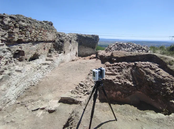
ARCHEOLOGY
- Precise 3D map creation
- Reveal traces of cities, roads, walls, tombs, sculptures, and other artifacts that are buried under vegetation
- Better planning of archaeological excavations