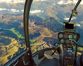

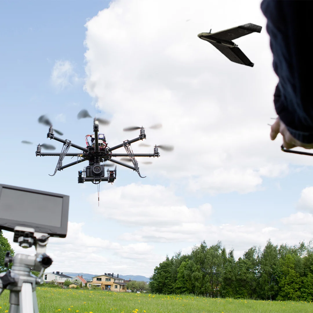
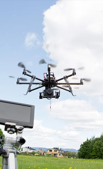
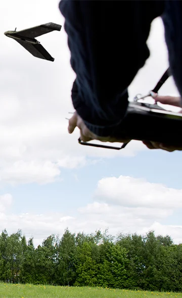
Drones ( fixedwing and multicopters )
Our drone services include visual and thermal aerial photography and photogrammetry, which allow us to capture high-resolution images of a site or object and generate 3D models and maps. Our drones are equipped with high-end cameras and sensors that enable us to collect data from difficult-to-access areas, such as rooftops and tall structures.
- Construction: site surveying, progress monitoring, and safety inspections
- Mining: stockpile volume calculation and terrain analysis
- Oil & Gas: flair stack and chimney inspection
- Renewable energy: photovoltaic and wind turbine inspection
- Forestry: tree counting, forest inventory, and health monitoring
- Agriculture: crop monitoring, yield estimation, and plant health analysis
- Emergency response: damage assessment and search and rescue operations
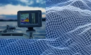
Drones
Drones with longest flight time can fly 2-10 hours, depending on the wind direction and whether they carry any payload. Drones can collect various types of data, including:
- Aerial imagery
- Thermal imagery
- LiDAR data
- Multispectral imagery
- Video and audio data
Overall, drones can collect a wide range of data that can be used for various applications in industries such as agriculture, construction, mining, environmental monitoring, and many more.
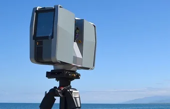
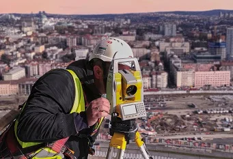
Technologies