

3D Laser Scanning
Our terrestrial 3D laser scanning services are designed to capture high-resolution point cloud data of large-scale objects and environments. Our scanners are capable of capturing millions of data points per second, allowing us to generate accurate 3D models of objects, structures, and terrain.
- Construction &Architecture: building modeling, structural analysis, and historical preservation
- Engineering: road and bridge modeling, tunnel inspection, and civil infrastructure assessment
- Manufacturing: product design, quality control, and reverse engineering
- Cultural heritage: artifact digitization and museum exhibition planning
- Virtual reality and gaming: 3D environment creation and animation
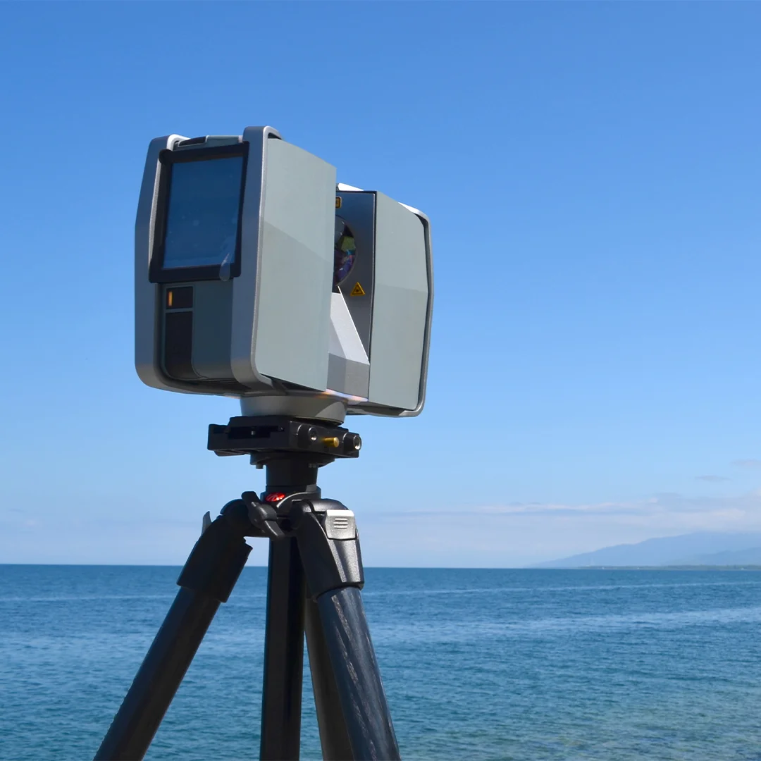
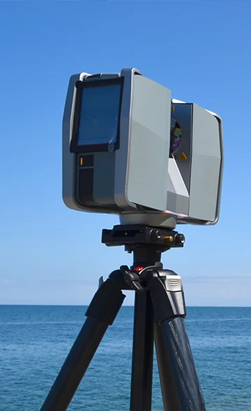
3D Laser Scanning
What used to take hours to measure with traditional methods can now take minutes with laser scanning. All spatial information is collected quickly without missing any detail, with capturing up to 2 million points per second, this method allows rapid and accurate 3D representation of large areas.
Besides static scanners which are stationary and typically placed on a tripod or other stable surface to capture detailed 3D data of a single location, there are Handheld scanners: These scanners are held by an operator and moved manually around an object to capture 3D data.
Technologies