
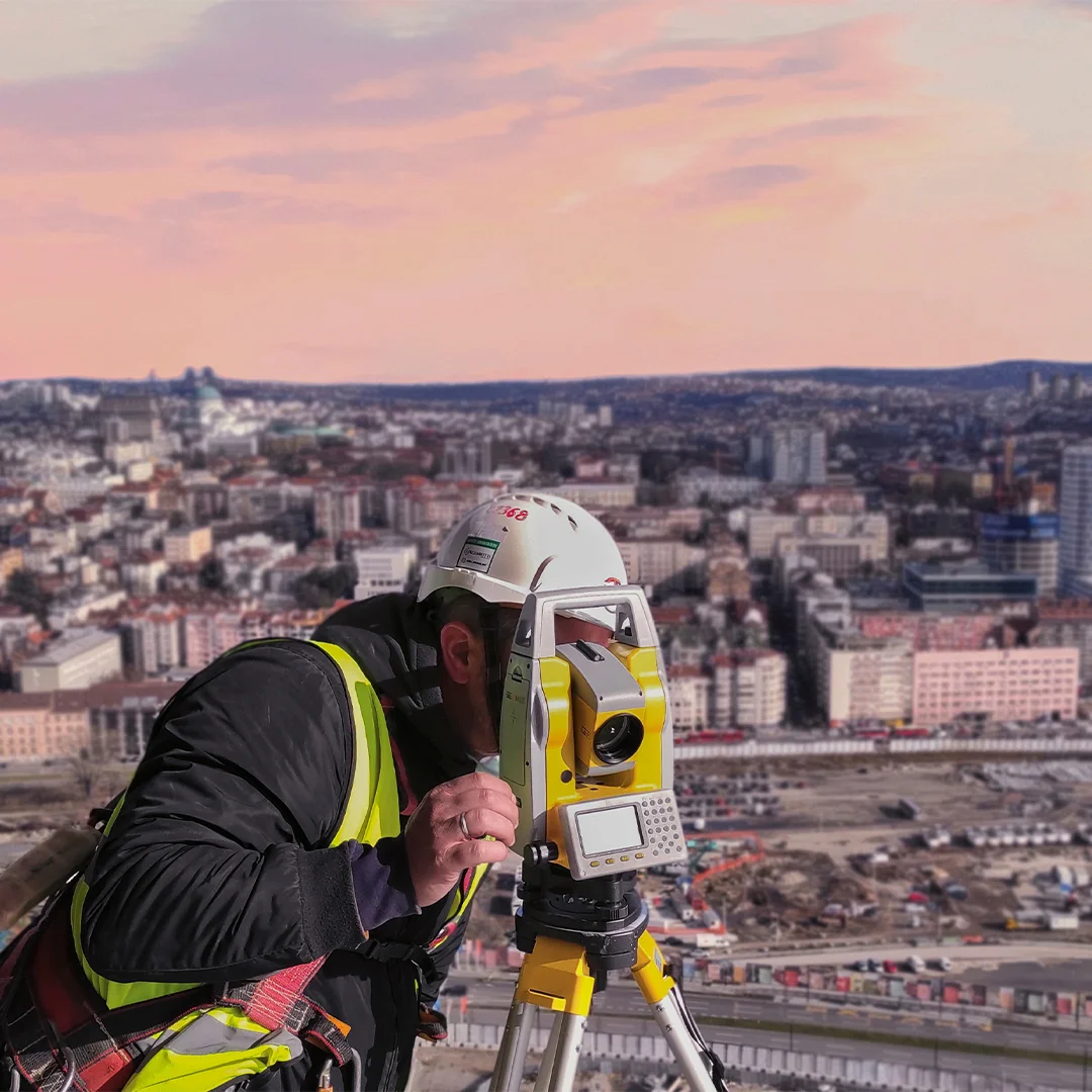

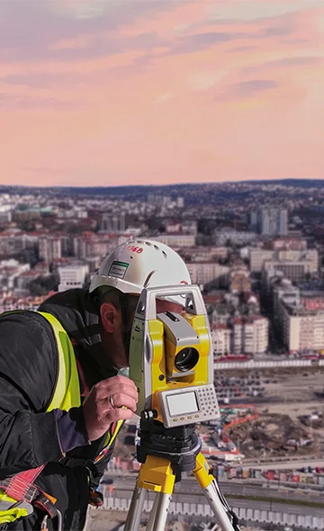

Conventional land surveying
Digital Dome provides conventional land surveying services, which include boundary surveys, topographic surveys, and construction staking. These services are essential for land development, infrastructure design, and property management.
Utilizing Ground Penetrating Radar to collect subsurface data, allows us to detect and locate objects and structures that are buried underground. This technology is particularly useful for utility mapping, archaeological investigations, and environmental assessments.
Our team of experts utilizes conventional surveying &advanced GPR technology to collect high-resolution data fromthe surface and the subsurface, allowing us to create accurate 3D models of underground structures, utilities, and geological formations.
We can help you determine the best technology and approach for your specific project needs. Contact us today to learn more about how we can help you achieve your goals with our geospatial data collection services.
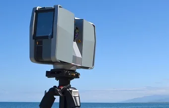
Conventional land surveying
The one man using a robotic instrument recorded roughly 1,500 points that is almost 4 times more than two-man crew using a manual instrument for the same time.
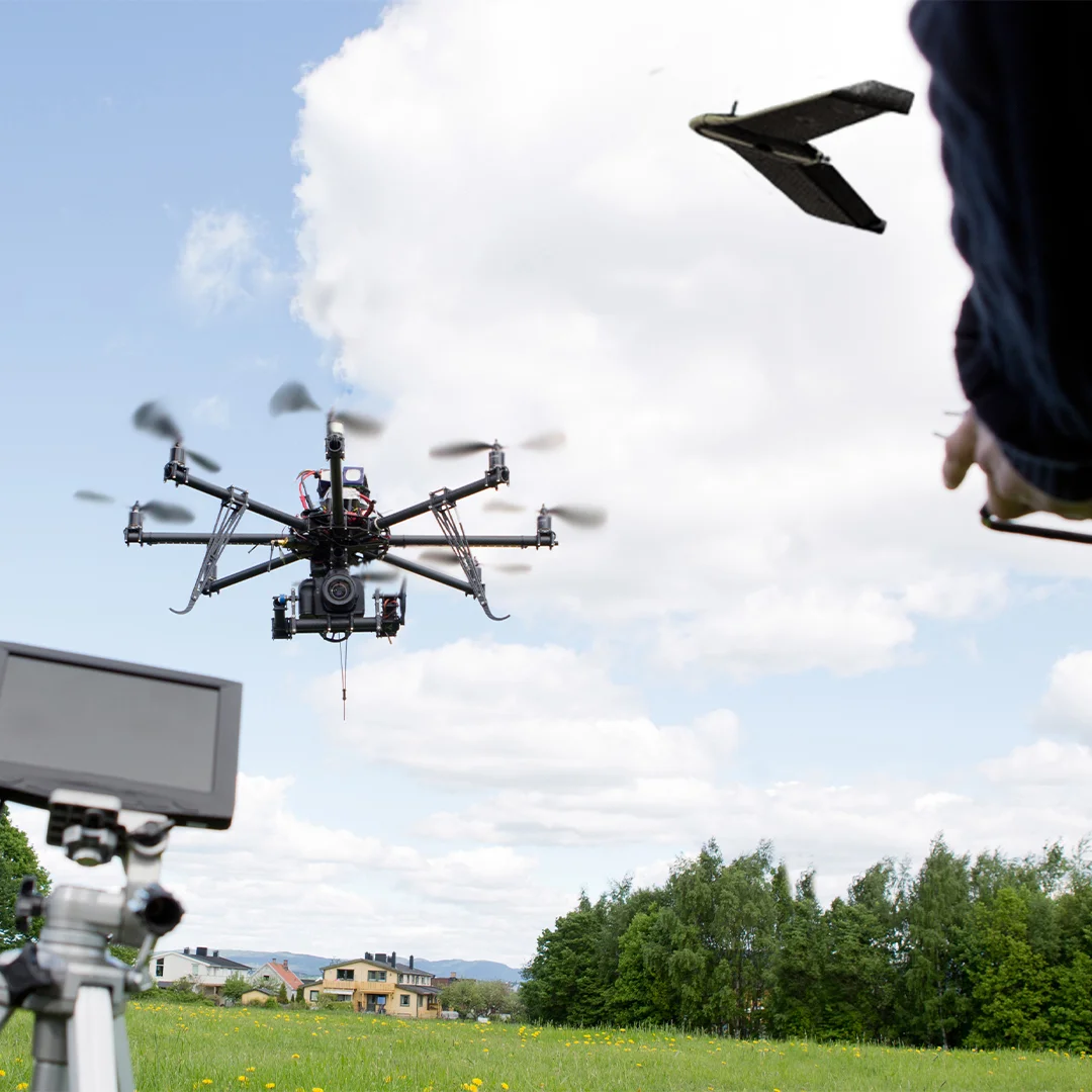
Technologies