Ensure your placein the digital world.
Make informed decisions and stay ahead of the competition with our expert geospatial data services! Learn more about how we can help you unlock valuable insights and optimize your operations
We are committed to always gaining a deeper understanding of the needs of our clients and this has
led to positive experiences through the delivery of high quality geospatial services
under one DOME
General services
Whether you're looking for advanced GIS analysis, high-quality mapping, or data visualization, we have the expertise and tools to help you achieve your goals.

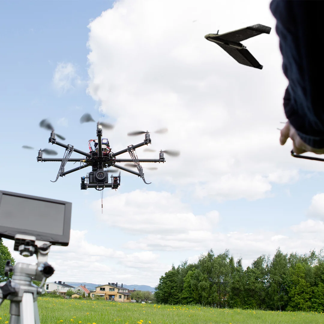
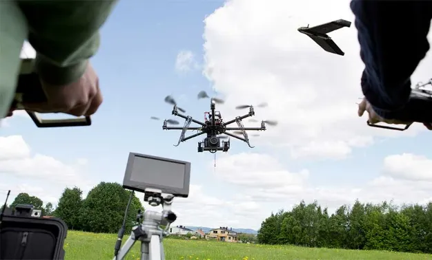
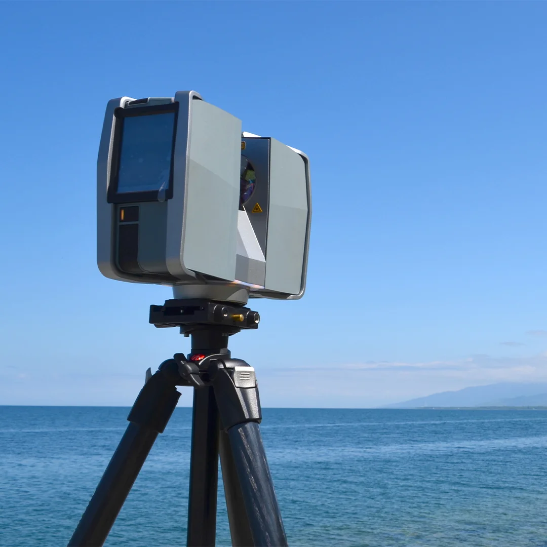
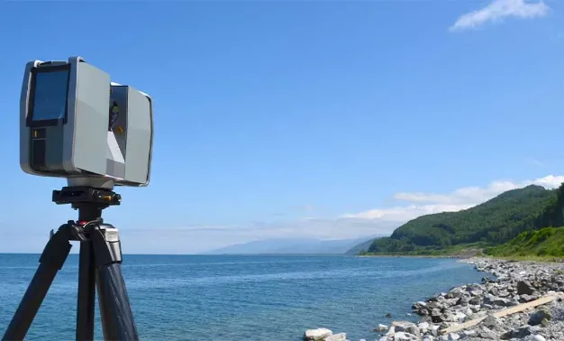
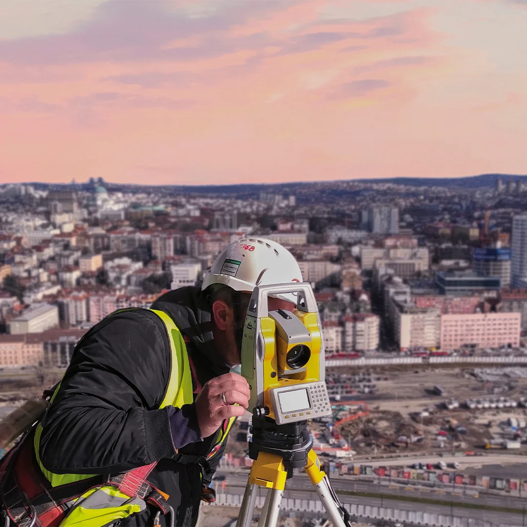
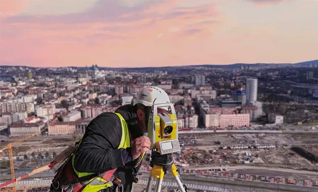
SPATIAL DATA
COLLECTION
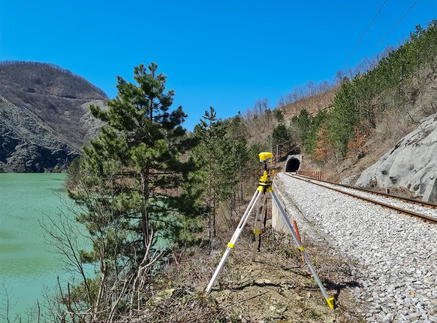
Spatial data can be collected in multiple ways, through direct observation of relevant spatial phenomena.
More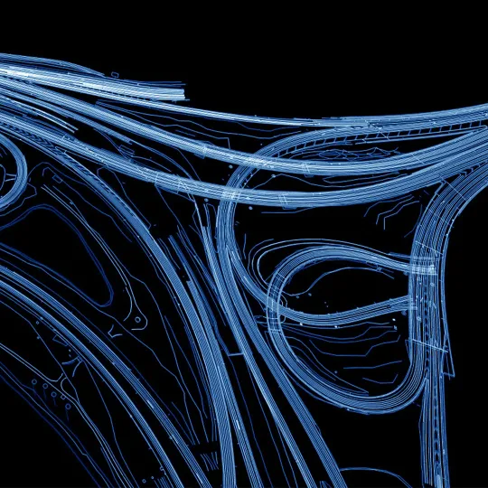
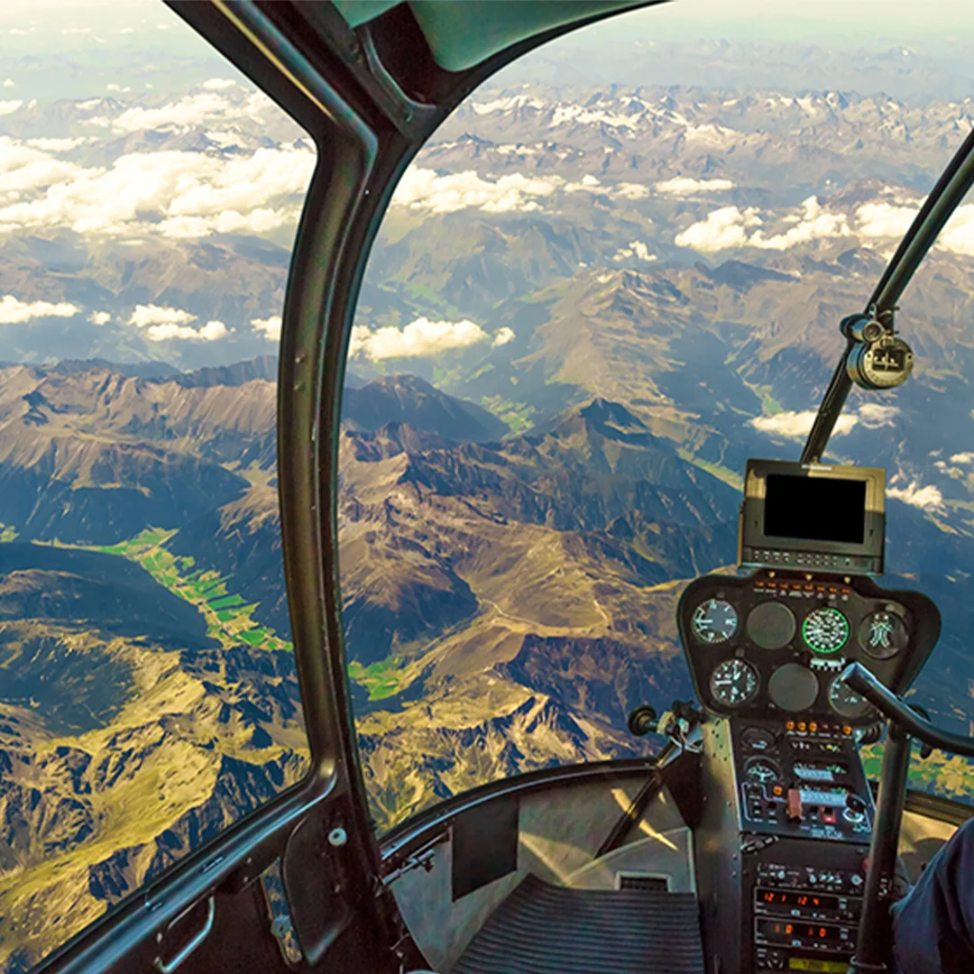
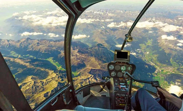
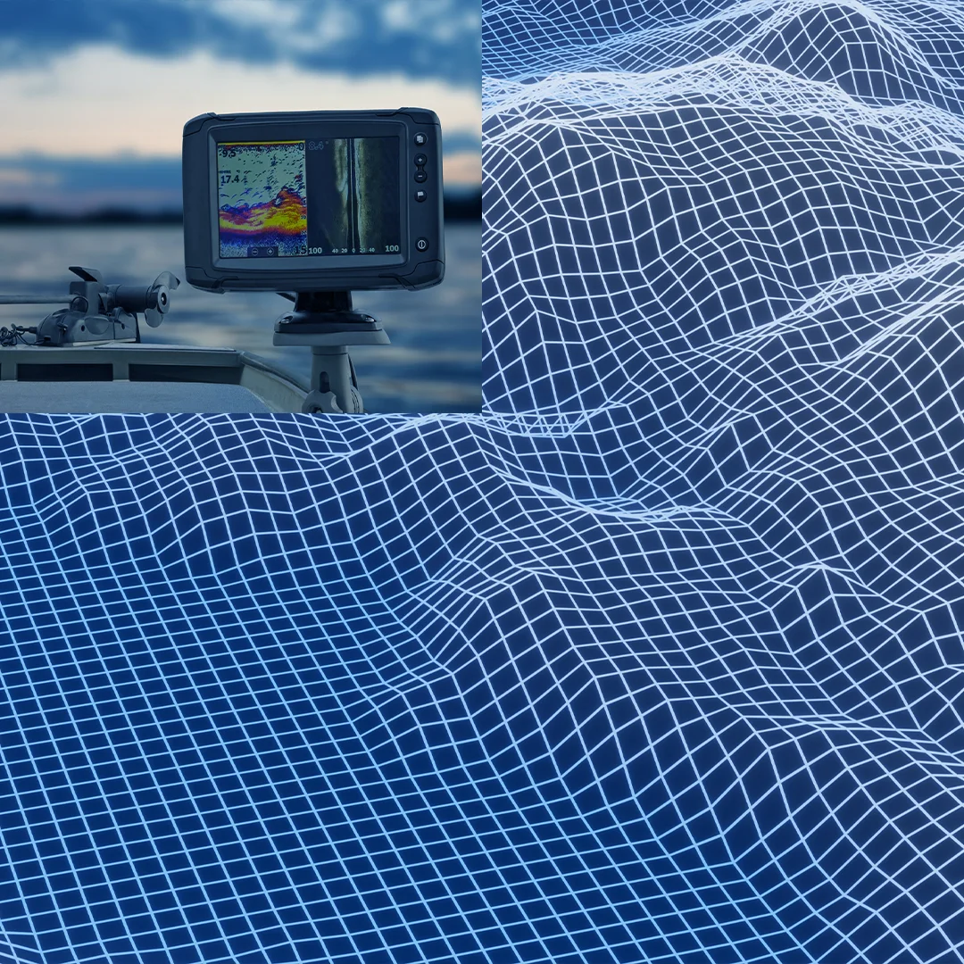
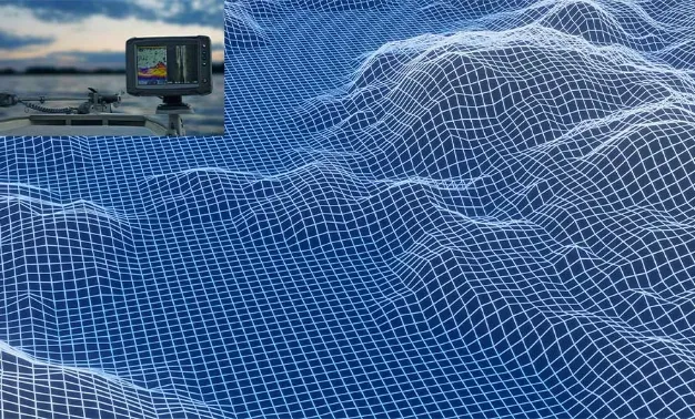
PROCESSING, ANALYSIS
AND PRESENTATION OF SPATIAL INFORMATION
Whether it's data from inertial systems, 360-degree camera panoramic images, or LIDAR point clouds, we are confident...
More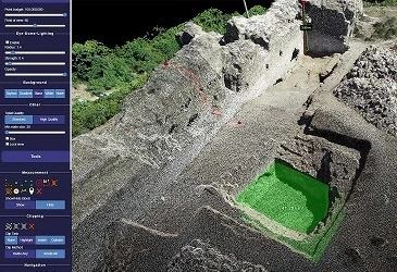
DEVELOPMENT OF PORTALS AND ON-LINE SERVICES FOR SPATIAL INFORMATION MANAGEMENT
Portal is a web-based platform that integrates spatial information from various sources into a unified interface.
More
EXPERT CONSULTING FOR GEOMATICS
When running a business, we often encounter turning points, where the choices we make can determine whether we achieve success or failure.
More
QA/QC SUPERVISION
Preventing the creation of inaccurate or incorrect data is the most effective way to ensure the quality of your products and decisions that rely on that data.
MoreServices by Industry
Discover different ways of services application

Construction
Intelligent progress monitoring & virtual web based site access (360 imaging, 3D laser scanning, UAV progress monitoring); stay up to date with your site conditions and construction progress.
More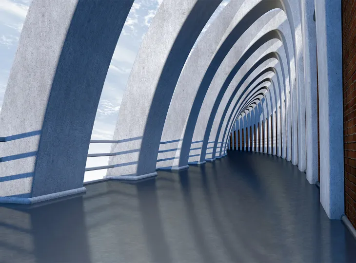
ARCHITECTURE
High accurate as build models
Hyper-realistic design renders
Technical Drawing updates

OIL&GAS
Tank Survey
Long distance Pipeline survey
Flair Stack, Chimney & Utility inspection
On-Shore / Off-Shore inspection & monitoring
Digital twins modeling & Asset Digitization
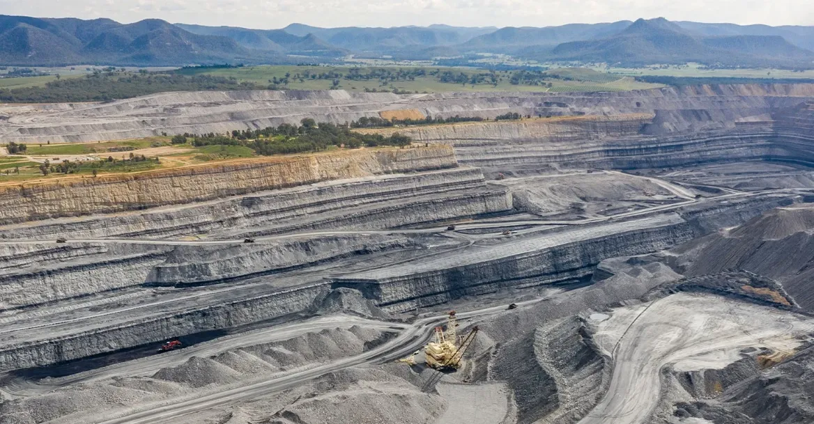
MINING
Surface morphology survey and analysis for drilling and blast assessment
Mine Operation management

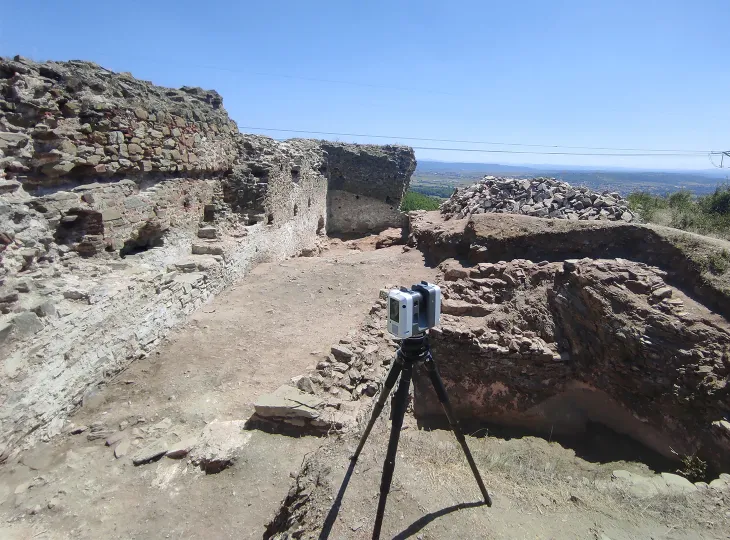
ARCHEOLOGY
Precise 3D map creation
Reveal traces of cities, roads, walls, tombs, sculptures, and other artifacts that are buried under vegetation
Technologies
We are committed to using the latest technologies and devices to provide our clients with the best range of services possible.